Saturday 9th October 2010. Off to do The Whernside Circular Walk. Weather not good with cloud down on the mountain. Followed the railway line past the signal box and crossed over just before the Blea Moor
tunnel via a remarkable bridge / aquaduct. Had a good view of the waterfalls just as we climbed into mist and strong NE winds. As we climbed higher I could not remember when I was last out in wind such as this. We were leaning into the wind at a crazy angle and would have fallen over the side had it suddenly ceased. Despite the weather there were quite a number of people on the mountain, many of them teenagers who were really enjoying battling against the gale. We passed through the small gap in the wall and found the summit trig point and quite a crowd sheltering behind the wall.

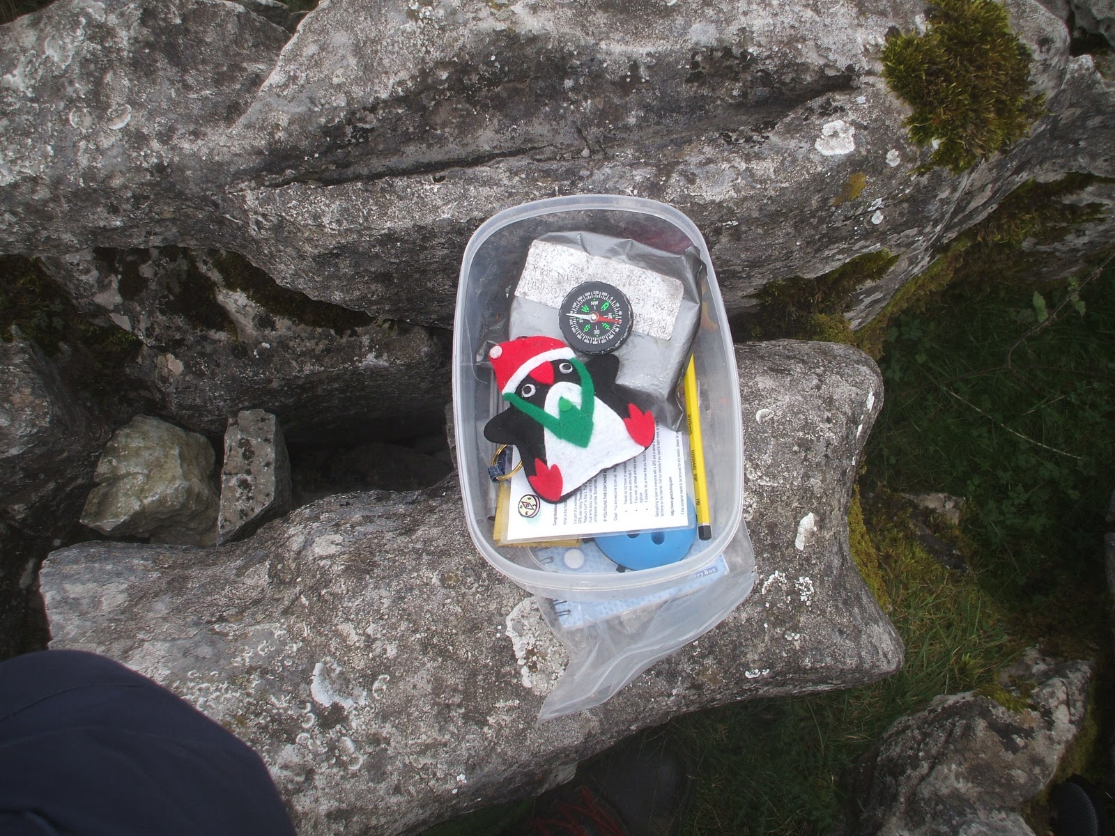
Visibility was down to twenty metres and it was cold. I had intended to search for a geocache but decided it would have to wait for another day. We had lunch and considered our options. Visibility was poor and there was a howling gale, thankfully it was not raining. We were not familiar with the terrain and did not know what to expect if we continued the circuit. We decided to continue and descended much steeper ground which quickly brought us out of the cloud. We were thankful that we had not climbed up this side as it was very rocky with large steps. We got down into the fields and turned back towards Ribblehead viaduct. This turned out to be quite a long and tiring section. Above, Whernside was coming out of the mist. I spent some time near the viaduct searching for a couple of geocaches which we located quite easily.
The cloud was lifting providing the occasional view of Whernside and Ingleborough’s summits.
Whernside
Ingleborough.
It took us four and a half hours to complete the circuit of eight and a half miles with approx 1500ft of ascent. We have to go back one day for the view from the summit. Next time I will follow the same route up and come back down the same way.